Ostfriesland: Difference between revisions
Knorrepoes (talk | contribs) m (Text replacement - "{{media}}" to " {{de1}} {{media1}}") |
Knorrepoes (talk | contribs) m (Text replacement - "{{de}}" to "") |
||
| Line 1: | Line 1: | ||
'''OSTFRIESLAND''' | '''OSTFRIESLAND''' | ||
Revision as of 05:11, 27 December 2022
OSTFRIESLAND
| German | |
| English | No blazon/translation known. Please click here to send your (heraldic !) blazon or translation |
Origin/meaning
Ostfriesland is an area in the North-Western part of Germany, between the Dutch border and Bremen. It never really was an independent state, but the Counts of Ostfriesland were quite powerful in the region.
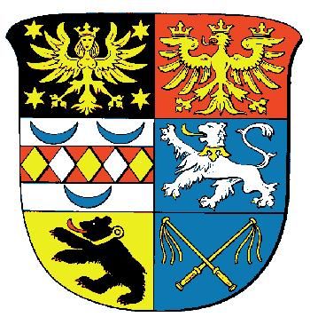
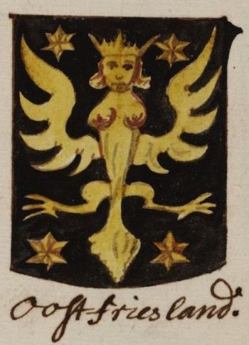
The harpy in the upper left quarter is derived from the arms of the most powerful family, the Cirksena family. See also the arms of the city of Emden and the National arms of Liechtenstein. The harpy is flanked by the spur rowels a symbol of the Norderland (the country around the city of Norden).
The second quarter shows the arms of the family "tom Brook", sovereign in the "Brokmerland" (the country in the middle of the triangle Emden-Norden-Aurich).
The third quarter shows the arms of the Manslagt dynasty (a village North-Western of Emden).
The fourth quarter shows the arms of Focko Ukena, sovereign of Moormerland (between Emden and Leer),
Lengenerland (around the village Remels) and Overledingerland (south of the river Leda an west of river Ems).
The fifth quarter shows the arms of the Attena family (see Dornum) and the 6th quarter shows the arms of Hero Omkes of the Attena dynastie, who ruled over the city of Wittmund
The arms in the Wapen- en Vlaggenboek van Gerrit Hesman (1708) | |
| The arms on a trade stamp |
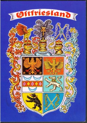
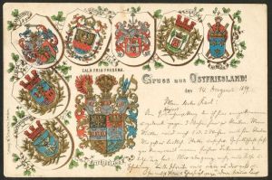
The arms on a postcard |
| The arms on a postcard |
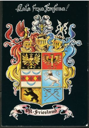
The arms on a postcard |
Literature : Kleine Ostfriesische Wappenkunde and Ostfriesland, Zeitung für Kultur, Wirtschaft und Verkehr, 1955/1, p 33.
